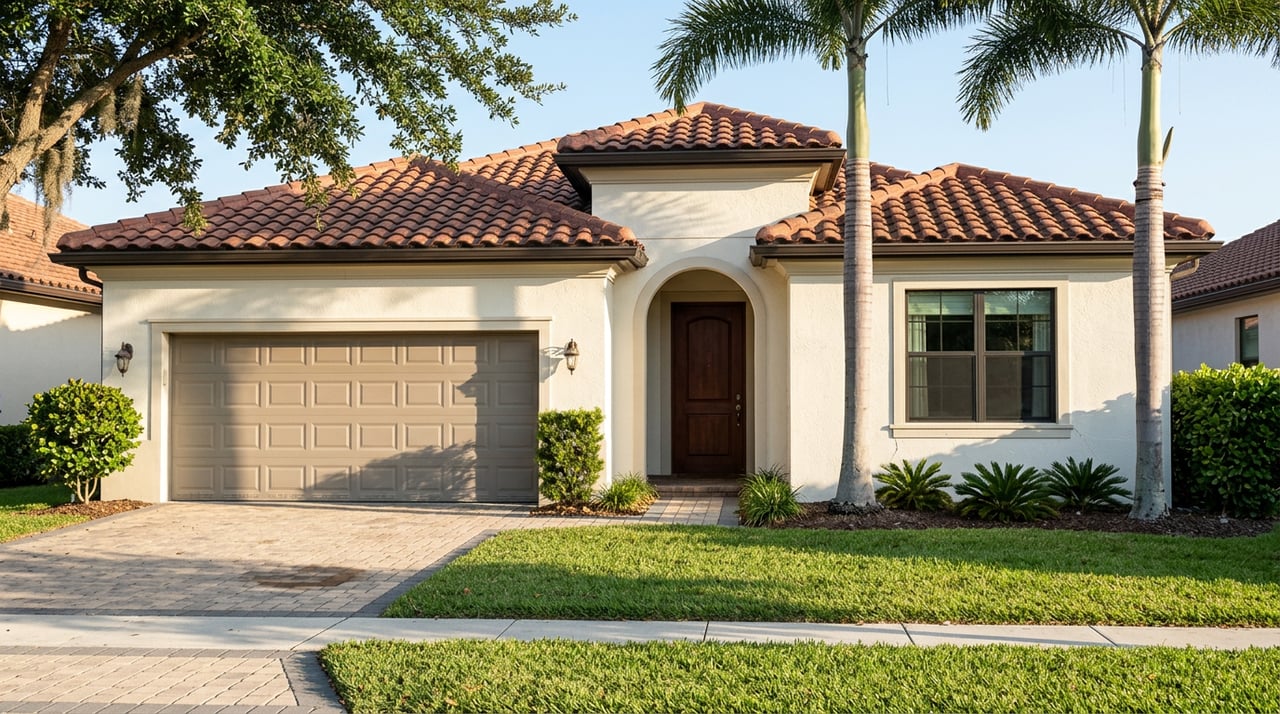
Picture two Pembroke Pines listings hitting the market on the same July morning, both priced right around the city's current median of $509,000, both single-family, both close enough in square footage that a buyer could cross-shop them in a single afternoon. One sits in Chapel Trail, part of the master-planned wave that built out western Pembroke Pines, with a two-car garage and a view toward one of the community's two golf courses. The other sits east, in one of the original subdivisions near University Drive that gave the city its start decades ago.
Ask most buyers which one costs less to insure, and they'll pick Chapel Trail without hesitation. Newer construction, newer code, newer everything. They'd be right about half the time, which in insurance math is the same as being wrong.
The rule everyone already knows
Florida's building code got dramatically stronger after Hurricane Andrew, and the state pushed those requirements further starting in 2001, mandating hurricane straps, better roof-to-wall connections, and impact-resistant materials for new construction. Insurers price that difference directly. Homes older than 25 years in Pembroke Pines carry an average annual premium around $4,574, while homes built within the last 25 years, especially those built to the post-2001 standard, average closer to $2,861. That's a gap of over $1,700 a year based on construction date alone. Owners of older homes can close some of that gap with wind mitigation upgrades, hurricane shutters, and impact windows, which insurers credit heavily and which can cut premiums for an older home by as much as 40 percent.
That's the story most buyers have already absorbed, whether from a lender, an insurance quote, or a conversation with a neighbor. It's accurate. It's also incomplete, because it only accounts for one variable when Pembroke Pines insurance math actually runs on two.
What changed on July 31, 2024
The second variable is geography, and it moved. FEMA's updated Flood Insurance Rate Maps for Broward County took effect on July 31, 2024, redrawing the flood zone boundaries that determine whether a mortgage lender requires a separate flood policy. The update didn't touch the coastline. It reached inland, adding tens of thousands of west Broward properties to Special Flood Hazard Areas for the first time, roughly 22,000 of them inside Pembroke Pines city limits alone.
The properties that got swept into the new zones aren't randomly distributed. They cluster in the master-planned communities that sit closest to the Everglades and Water Conservation Area 3, which is exactly where the city's western growth happened. Pembroke Falls, with its 1,800-plus homes wrapped around a central lake, sits in that corridor. So does Chapel Trail, with its 2,500-plus homes and two golf courses. Silver Lakes, which includes its own middle school inside the community, is in the same band, and so is Pembroke Shores. These are the newer, larger-lot communities that buyers assume win the insurance comparison on construction date alone. Many of them now also need a flood policy their owners didn't carry three years ago.
The city sits on flat, low-lying ground with a high water table, and it drains through the C-9 canal system rather than any natural elevation change, which is part of why sheet-flow flooding during a wet-season downpour can show up well away from any canal bank. That drainage reality is exactly what the 2024 remap was built to capture, and it's why the newer western communities, not the older eastern ones, absorbed most of the new designations.
The eastern side isn't simply the loser here either
It would be tidy if the story just flipped, older east side wins on flood exposure, newer west side wins on construction code, and buyers could pick their tradeoff and move on. Local inspectors who work across the city's full housing stock complicate that too. Pembroke Pines was built out in phases from the 1970s through the 2000s, and within that window sits a hard line at 1992, when Hurricane Andrew forced Florida to rewrite its building code. Homes built before that line often carry roof-to-wall connections and framing that the current code would never allow. Inspectors flag the original Pembroke Pines neighborhoods for this, and they specifically call out sections of Chapel Trail alongside them, meaning some of the same western, conservation-area-adjacent stock that just picked up a new flood requirement can also be old enough to carry the pre-Andrew wind risk profile that drives up premiums on the construction side.
So a Chapel Trail address doesn't automatically mean a newer build. It can mean a home old enough to face the higher wind-related premium and new enough into the flood map to also need a separate flood policy, stacking both cost pressures on the same house. Meanwhile, an east side home near University Drive, some of them now 40 to 50 years old, faces the wind and roof-age premium on its own, without the new flood requirement layered on top, because it sits outside the four communities the 2024 map reached.
Here's how that plays out community by community:
| Community | Near Water Conservation Area 3 (2024 remap exposure) | Construction era note | What it means for insurance |
|---|---|---|---|
| Pembroke Falls | Yes | Built during the city's master-planned wave, 1,800+ homes around a central lake | Many owners newly required to carry flood coverage |
| Chapel Trail | Yes | Some sections flagged by inspectors alongside the city's original neighborhoods for pre-1992 construction | Can carry both the new flood requirement and older wind-risk premiums |
| Silver Lakes | Yes | Part of the same master-planned build-out, includes its own middle school | Same dual exposure as Pembroke Falls |
| Pembroke Shores | Yes | Newer master-planned stock | New flood policy likely required where none existed before |
| Original neighborhoods near University Drive | Not among the four remapped communities | Some homes 40 to 50 years old, built to pre-Andrew standards | Higher wind and roof-age premium, but outside the new flood zone |
The takeaway isn't that one side of the city wins and the other loses. It's that the two variables, build year and flood zone status, move independently of each other in Pembroke Pines, and a buyer who only checks one of them is pricing the house wrong.
Why this matters more right now than it did two years ago
Broward County home insurance costs rose about 31 percent between 2022 and 2024, a jump most buyers have already priced into their expectations. What's newer is the pace of the local market giving buyers room to actually act on this information instead of just absorbing it. In July 2026, Pembroke Pines homes sold in an average of 72 days, up from 59 days the year before, a slower cadence that hands buyers more room to negotiate than they had in the tighter market of a year ago.
That extra runway matters here specifically. A buyer comparing a Chapel Trail listing against a University Drive listing at the same price now has time to actually pull a flood zone determination and a wind mitigation report before writing an offer, rather than guessing based on which side of the city sounds newer. That's not a step most portals prompt anyone to take, and it's the difference between a monthly payment estimate that holds up at closing and one that gets revised the week the insurance quote comes back.
A few questions worth asking before you tour
Does a flood zone designation mean a house floods often? No. It means FEMA's mapping puts that parcel inside a Special Flood Hazard Area, which triggers a lender requirement for flood coverage. It's a regulatory determination tied to elevation and drainage modeling, not a record of past water intrusion at that specific address.
Can I find out a specific property's flood zone before I tour it? Yes. The Broward County flood zone map tool lets you search any address against the July 2024 boundaries directly.
If a home has wind mitigation credits, does that cancel out a new flood requirement? Not usually. Wind mitigation and flood coverage are priced on separate risk models, so a strong wind mitigation report lowers the wind portion of a premium but doesn't offset a newly required flood policy.
Comparing two Pembroke Pines communities on price alone leaves out the line item that can move a monthly payment the most. If you're weighing a west side lake community against an established eastern neighborhood, or trying to figure out what a specific address will actually cost to insure before you write an offer, The Merino Group can walk the numbers with you street by street. Let's Connect.